Visualization Collection

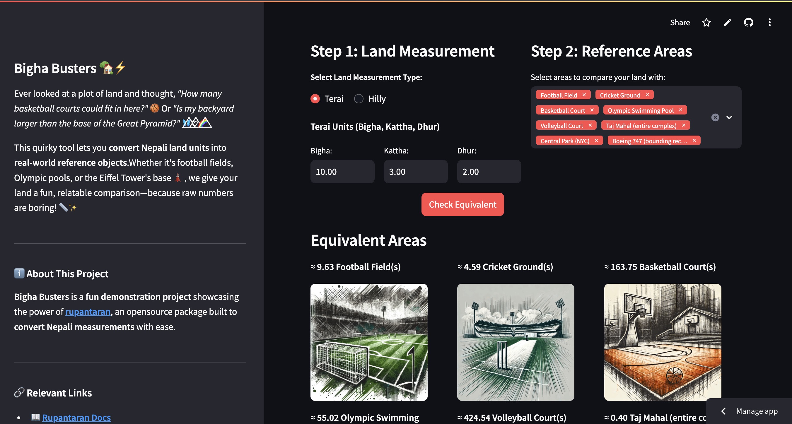
Bigha Busters preview
01

Bigha Busters

Nepal Streamlit Python Land Conversion rupantaran

A quirky tool that converts Nepali land units into relatable real-world references. Ever wondered how many basketball courts fit in your plot, or whether your backyard is bigger than the Great Pyramid's base? Built using rupantaran, an open-source Python package for Nepali measurement conversions (docs).

Open visualization
NepalScope preview
02

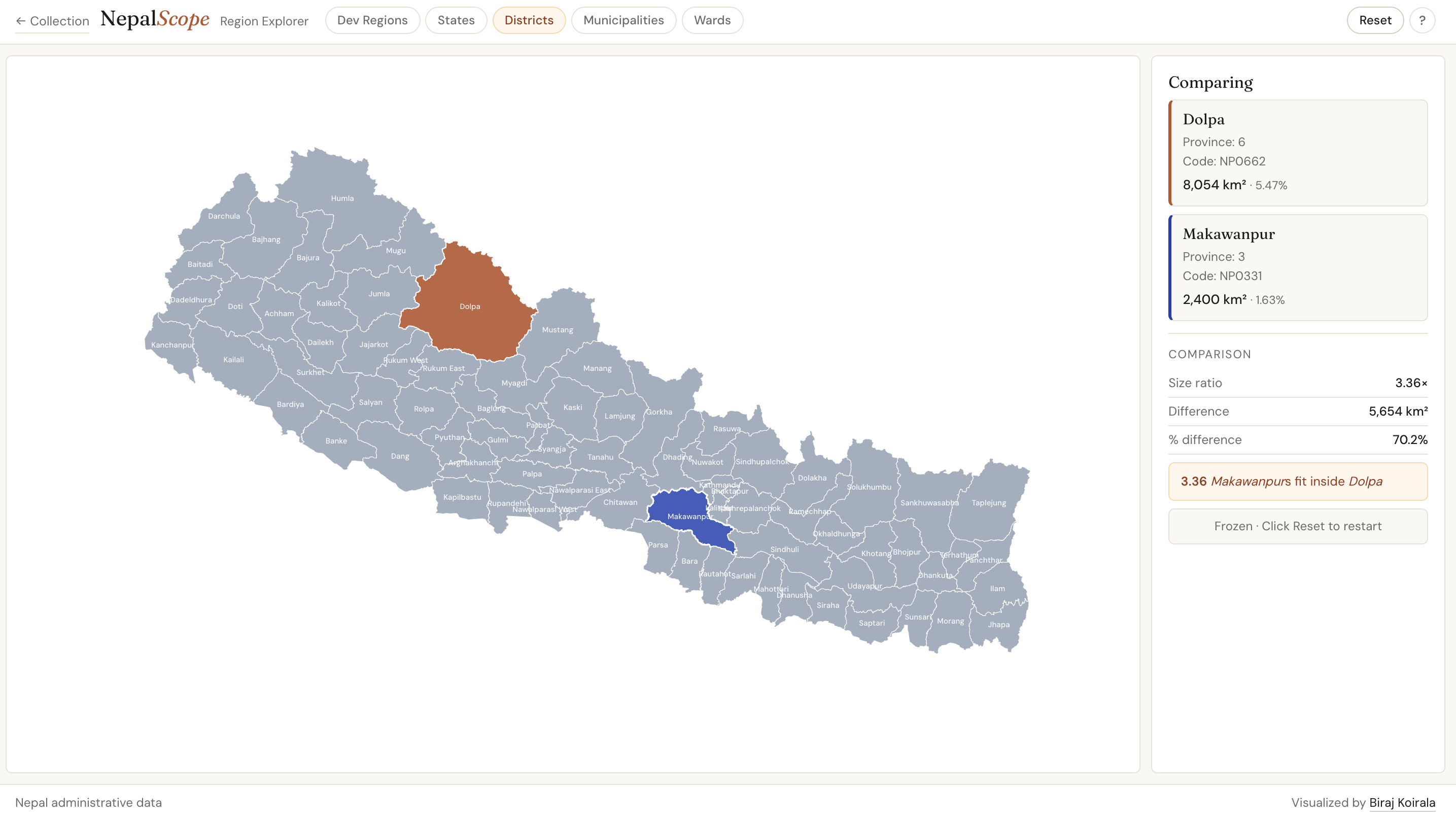
NepalScope

Nepal D3.js Compare Districts

A comprehensive tool for exploring Nepal's administrative divisions. Compare development regions down to individual wards through an intuitive interface — useful for researchers, policy makers, and anyone curious about Nepal's administrative geography.

Open visualization
GeoScope preview
03

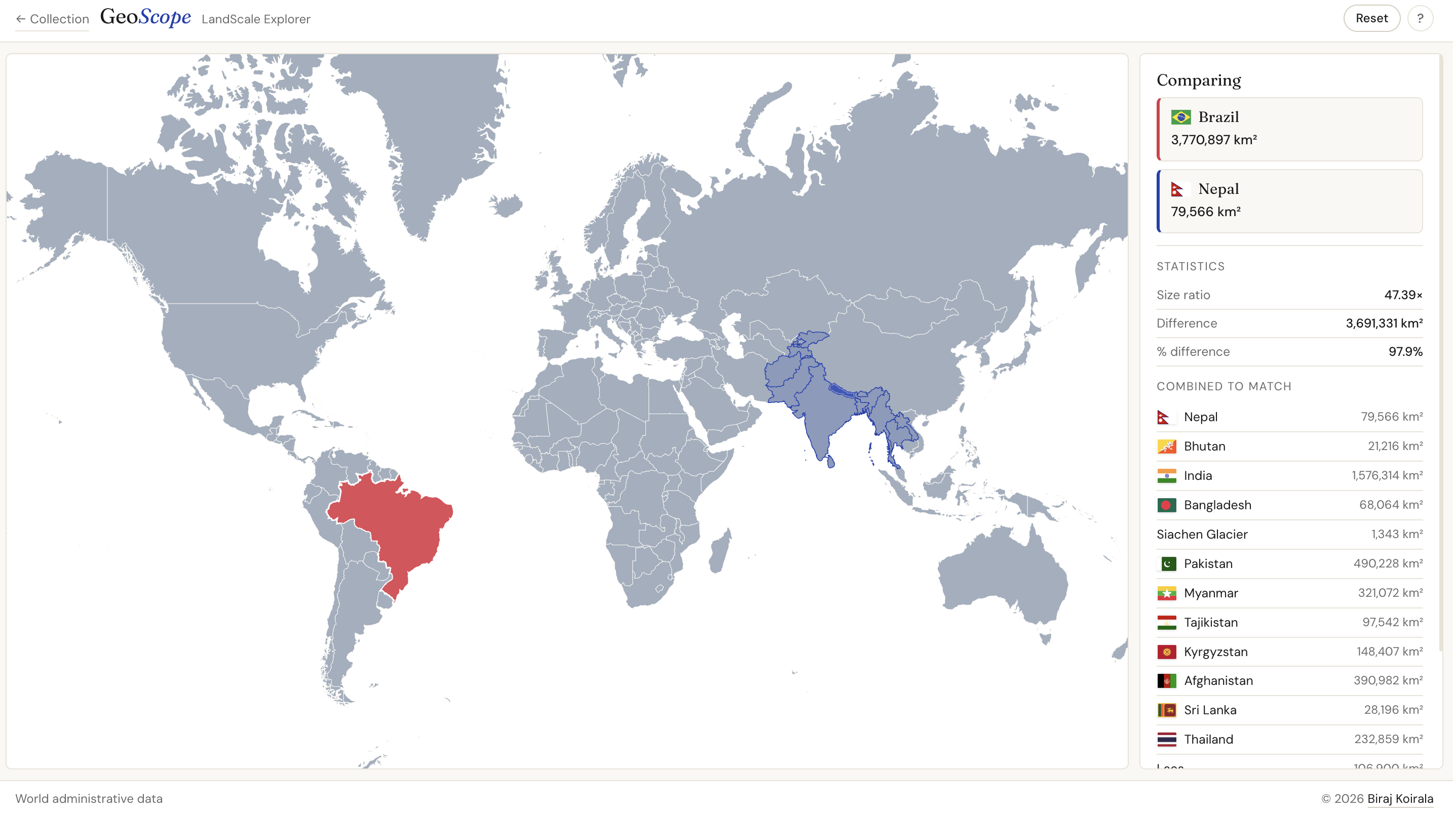
GeoScope

Global D3.js Compare Countries

An interactive geographical tool that brings country size comparisons to life. Select any country and see how it measures up against others — making abstract area measurements tangible through direct visual comparison.

Open visualization